Leave the car behind and hit the pavement - walk, run, cycle or skip from your home on Warralily’s 4.9 km shared path network. We’ve picked out our top locations (and added a few fun facts) that you can visit (or revisit) on your next Warralily adventure!
Mirambeena Play Park – The name given to the park by Wadawurrung elder Bryon Powell acknowledges the proud indigenous history of the area. Mirambeena means ‘this is our place’. Everyone who plays here, exercises here, walks here and talks here are making the place their own.
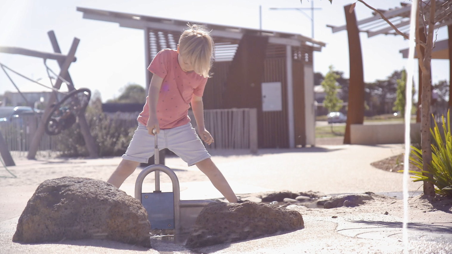
This 4 ha Nature Adventure Playground - is a fantastic community asset that has something for everyone including a flying fox, spinning hammocks and swings, a massive sandpit, basketball/netball zones and a village green/kick-about oval for ball sports and community events, as well as barbecues, picnic tables, toilets, baby-changing and much more.
Dooliebeal (Stewarts Reserve)
If you want a taste for Warralily’s Native Landscape take in the beauty of Dooliebeal (Stewarts Reserve). Warralily is located within the Victorian Volcanic Plains Bioregion ,where grassy woodland vegetation once occurred west from Melbourne to near the South Australian border. Dooliebeal (Stewart’s Reserve) on Warralily Boulevard is among one of the best remaining examples of Grassy Woodland in the Geelong region. With eucalyptus trees like Manna Gum, Swamp Gum, large old River Red Gums and a variety of native grasses, wildflowers and sedges.
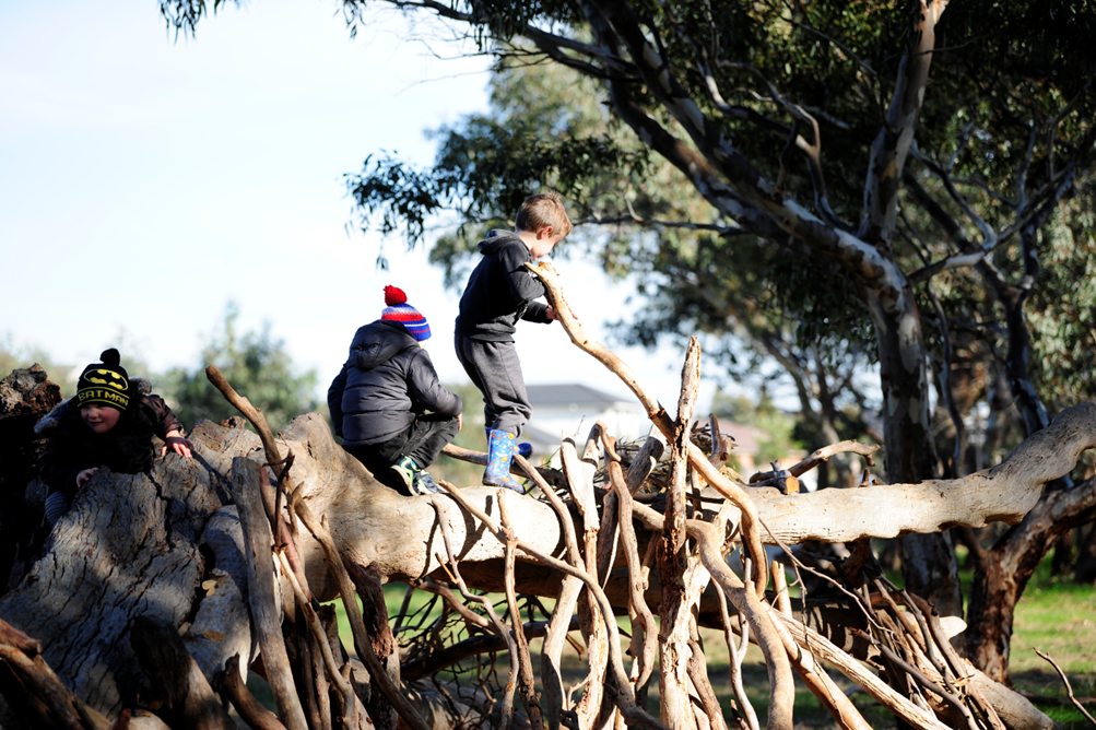
Dooliebeal - which means river red gums - along with the Duneed Aboriginal Land Reserve at Mt Duneed were the last refuges for Wadawurrung people in the Geelong region. It is significant to Aboriginal people, with Armstrong Creek forming part of a travel route leading from Mount Moriac to Lake Connewarre, then onto Barwon Heads.
Warralily Art Trail
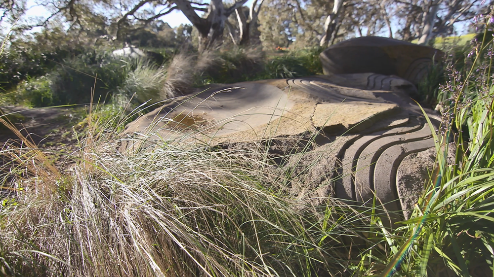
Warralily and Armstrong Creek has an abundance of indigenous heritage and is celebrated throughout our community with magnificent public artworks. Follow the sculpture trail around the wetland at Warralily parkland. Fossil sculptures at the entrance to Coastside Drive. Australian Aboriginal Wadawarrung artifacts are rich in the parklands and creek beds of Armstrong creek and if you go searching hard enough you might come across some tree carvings or stone art along the creek.
Tree stags along Armstrong Creek.
Can you count the number of tree stags along Armstrong Creek? These stunning features are also called Habitat Trees and if you look closely you might see some animals who have made the cracks, crevices, notches and hollows their homes.
Warralily Birdwatching
Birds from all over the world choose to visit Warralily and our stunning wetlands and reserves. The next time you spot an exotic looking bird in the hood, check out the eBird Australia website and mark your discovery.
Warralily has four Bird Watching Hot Spots listed on the.
- The Wetlands on Barwon Heads Road
- The Charlemont Conservation Reserve
- Upstream along the creek towards Horseshoe Bend Rd
- Dooliebeal (Stewarts Reserve).
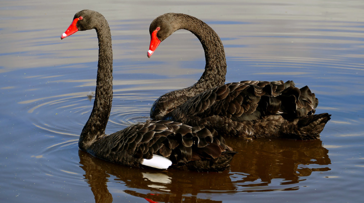
Keep an eye out for the black swans – their babies who will be all fluffy and grey - usually hatch anytime from May to September and are the only swan native to Australia.
Did you know that the Wadawurrung word for Black Swan is Connewarre or kunawarr?
Lake Connewarre - Kunawarr Keeling (Black Swan Lake)
This internationally recognised Ramsar site - Lake Connewarre is right on your doorstep and is a part of one of the largest estuarine systems on the central Victorian coast. Taits Point Picnic Area is just a 10 minute drive from The Village Warralily and can be accessed from Staceys Road. Please remember to take your rubbish home with you
Have you got an adventure you’d like to share with us?
For more information or to share your adventure please contact Ninabendon@newland.com.au
